ECOLOGICAL CONSULTING & FIELD SERVICES
THREATENED & ENDANGERED SPECIES SURVEYS
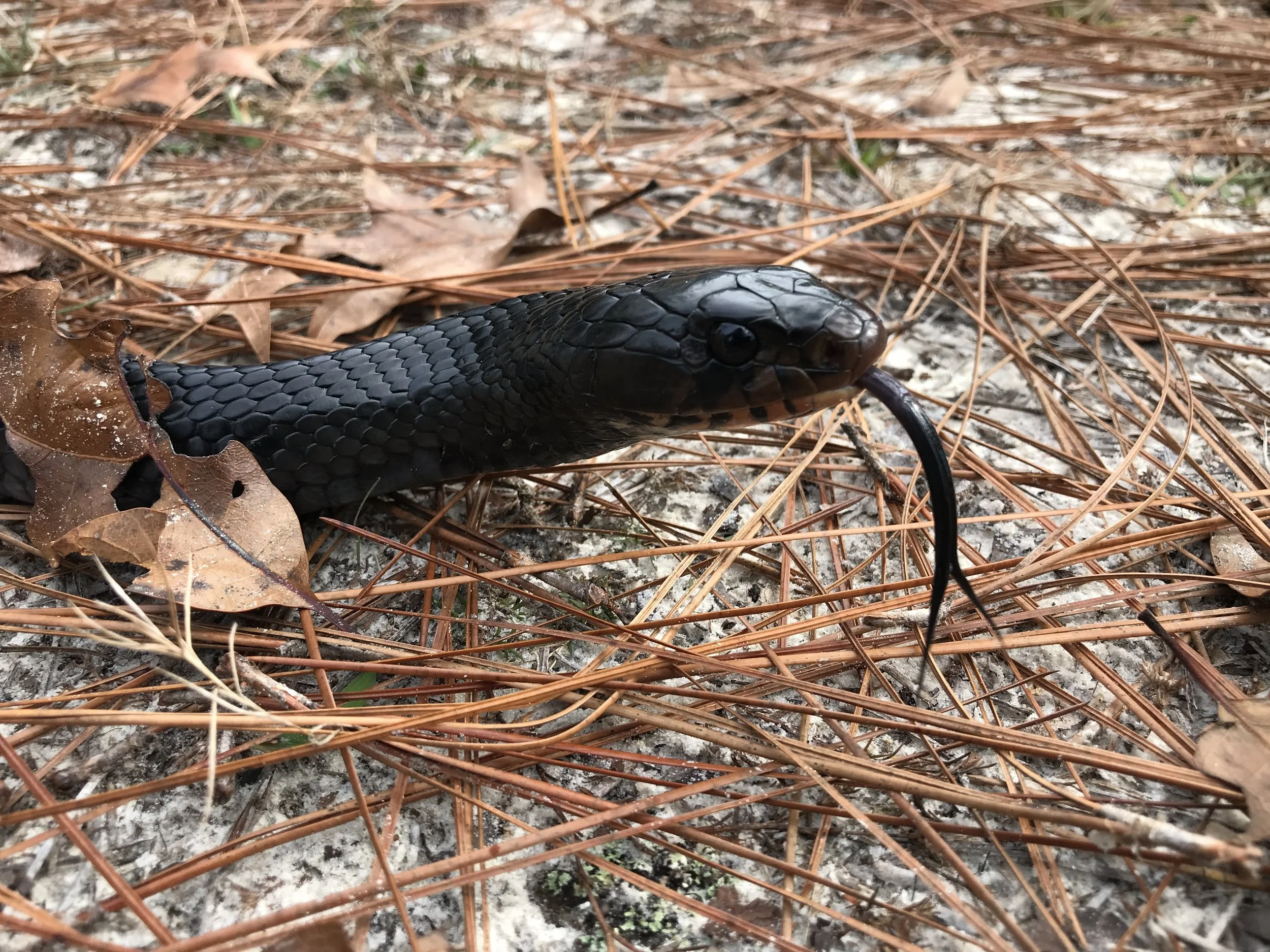
Providing authorized, permit-backed surveys and compliance reporting for listed species across the Southeast. Specialized capabilities include reptiles and amphibians such as Red Hills Salamander, Gopher Frog, Gopher Tortoise, Black Warrior Waterdog, Flattened Musk Turtle, Black Pinesnake, and Eastern Indigo Snake.
Authorized field documentation and permit-backed data collection establish accurate species inventories and land use histories required for conservation value appraisal and IRS regulatory compliance.
RED-COCKADED WOODPECKER MONITORING & MANAGEMENT
Expertise in Red-cockaded Woodpecker (RCW) surveys, monitoring, cavity installations, and long-term group tracking to meet federal and state regulatory frameworks. Current collaborations include partnering with corporate and NGO clients to manage and grow sensitive RCW populations.
Comprehensive monitoring, cavity inspection, and long-term population management to meet strict federal and state regulatory frameworks.
GIS MAPPING & SPATIAL ANALYSIS
Detailed, custom property maps tailored specifically for large landowners, timber managers, and conservation partners. Utilizing advanced spatial data, these services map exact acreage, track habitat distributions, and deliver clear, actionable insights for long-term land management.
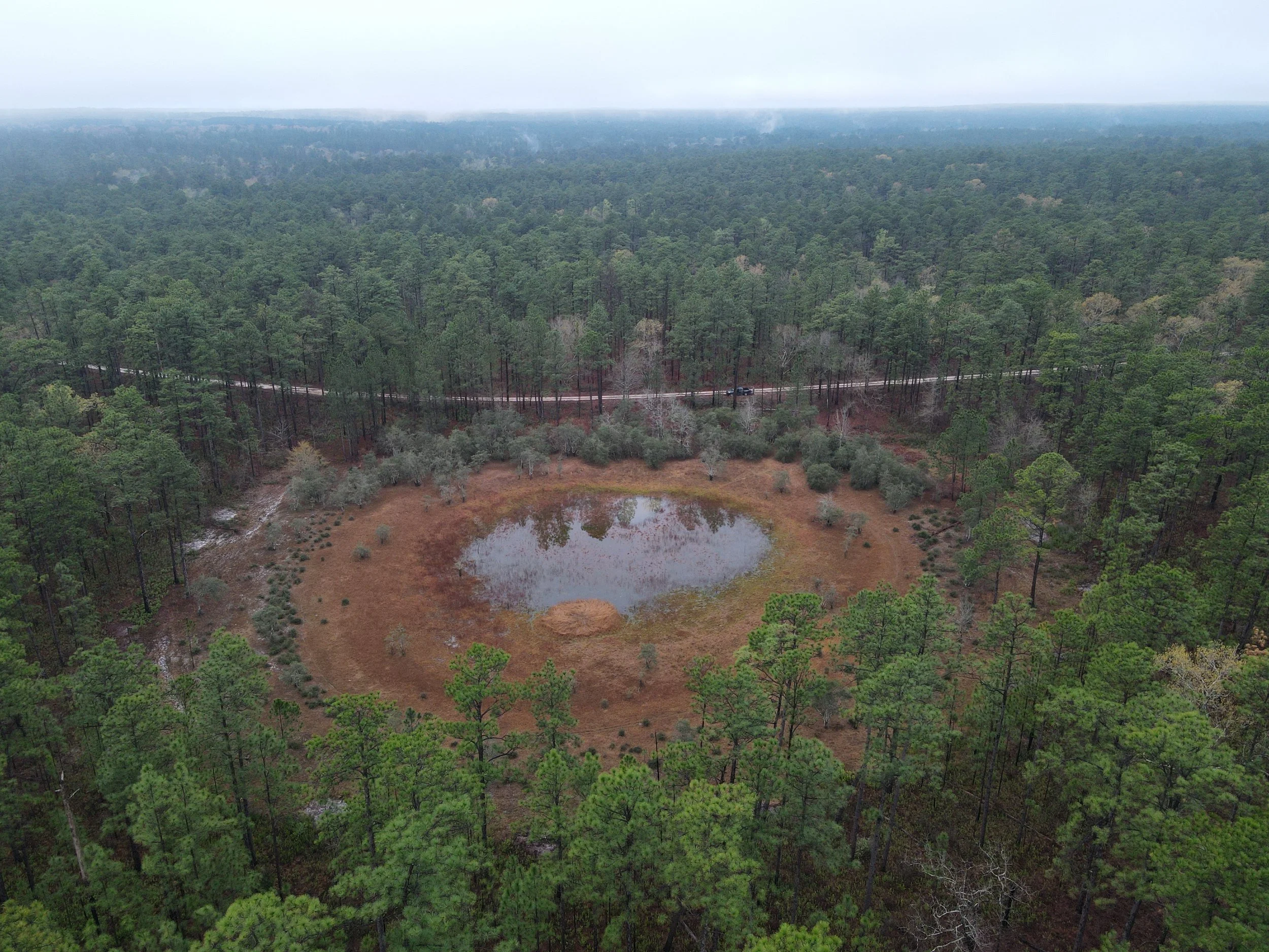
High-resolution spatial modeling and aerial data integration to identify sensitive landscape features and plan targeted habitat restoration.
GOPHER TORTOISE TRANSLOCATION
State and federal permits allow for capture, monitoring, and translocation to support energy infrastructure and land development projects. End-to-end relocation services streamline project timelines by managing permit application, mechanical scoping, trapping, and safe transit to recipient sites or conservation banks.
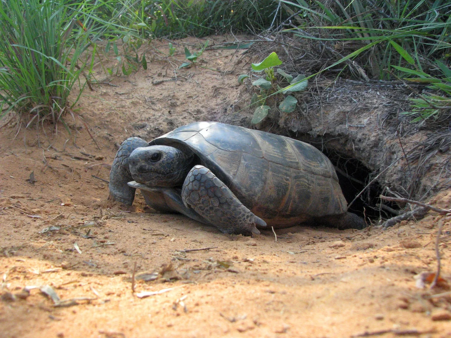
Permitted capture, health assessment, and safe transit of gopher tortoises to authorized recipient sites and conservation banks.
We provide industry-standard baseline and monitoring services rooted in a legacy of regional conservation. Having completed more than 70 BDRs across multiple states, we proudly serve as a trusted partner for the Alabama Forest Land Trust, the Georgia-Alabama Land Trust, and the Freshwater Land Trust.
CONSERVATION EASEMENT & BASELINE SERVICES
BASELINE DOCUMENTATION REPORTS (BDRs)
Compiling rigorous, comprehensive Baseline Documentation Reports required to establish legal conservation easements. Field inventories meticulously document existing ecological values, anthropogenic features, and current land use conditions to ensure complete compliance with IRS and land trust standards.
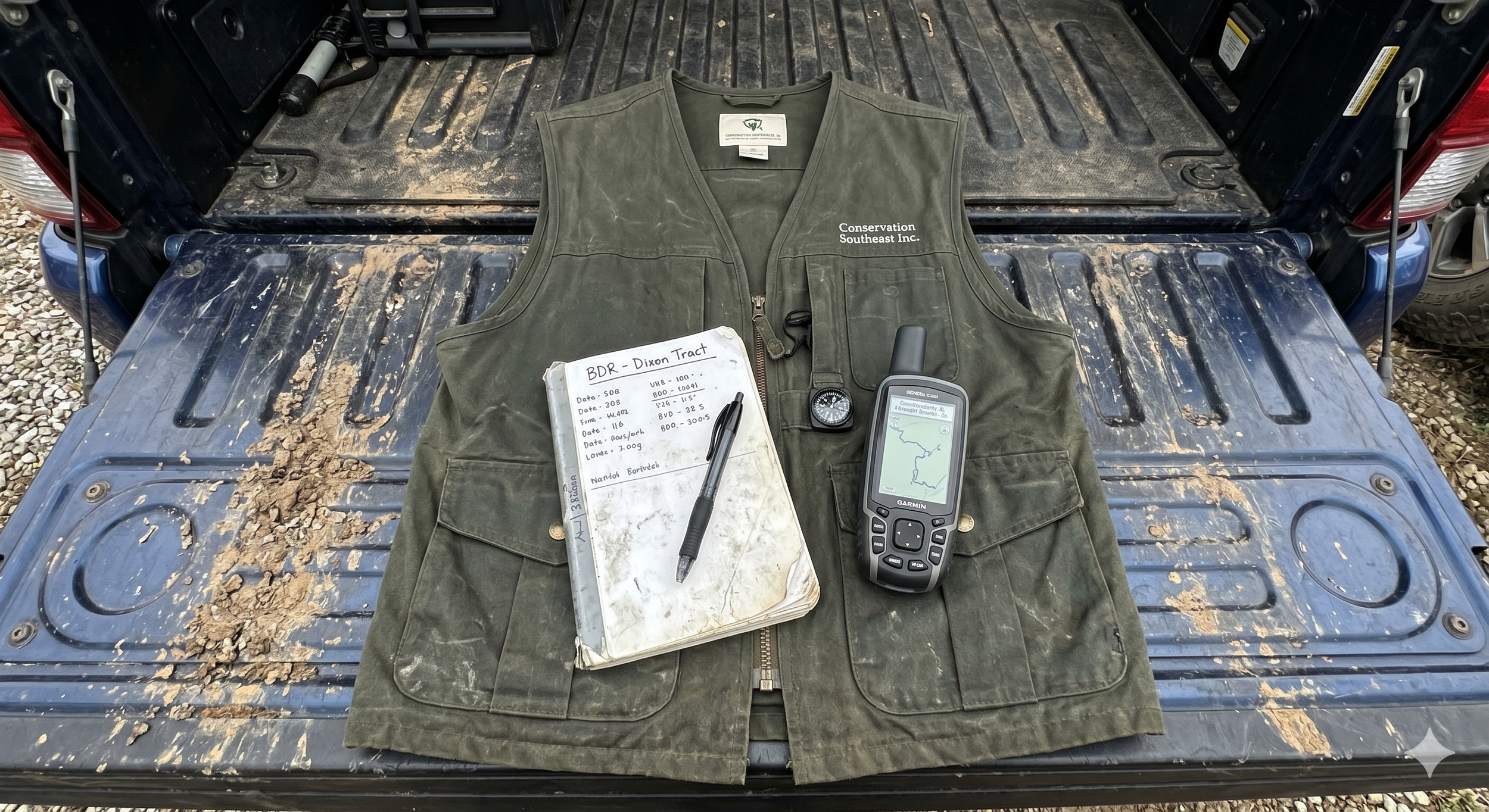
Meticulous field data collection and site inventories form the foundation of every legally defensible Baseline Documentation Report.
CONSERVATION PROPERTY MAPPING
Delivering high-resolution spatial mapping and property boundary analysis tailored for easement documentation. Utilizing advanced GIS platforms, drone-based photogrammetry, and LiDAR data integration, these custom maps precisely delineate sensitive habitats, structural zones, and protected natural features.

High-resolution GIS mapping and habitat delineation using current aerial imagery to precisely track land use and delineate sensitive areas.
ANNUAL STEWARDSHIP MONITORING
Conducting mandated annual compliance monitoring and ecological health assessments for established conservation easements. Systematic field inspections track landscape-level stability, document potential boundary encroachments, and ensure adherence to original easement provisions over time.
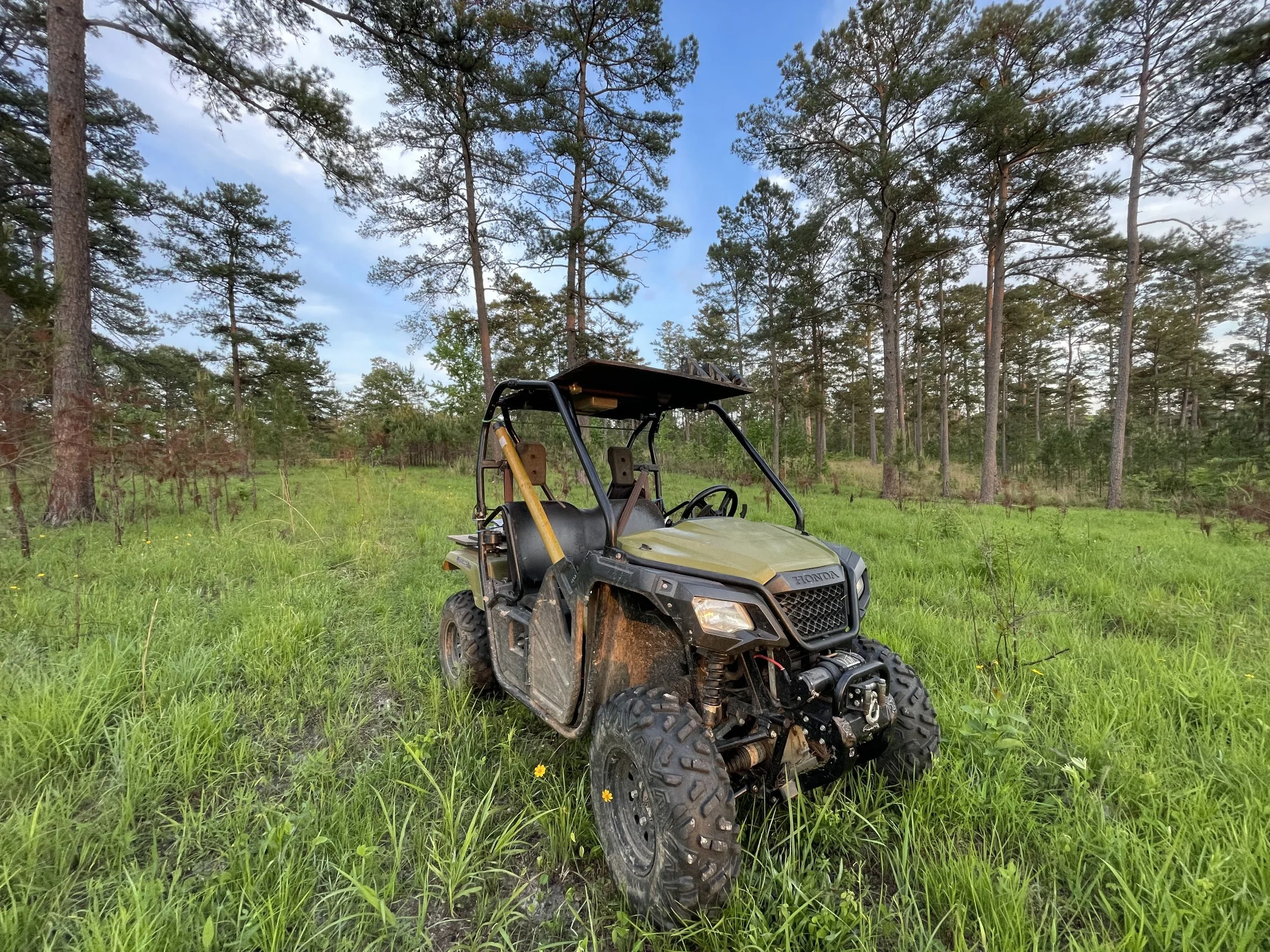
Utilizing all-terrain equipment and remote field tracking to efficiently conduct comprehensive, on-the-ground annual compliance inspections.
TURNKEY EASEMENT COORDINATION
Providing comprehensive, end-to-end project management to streamline the conservation easement process for landowners and land trusts. By acting as a single point of contact, these services seamlessly coordinate specialized conservation appraisers, legal counsel, and qualified land trusts, ensuring every regulatory, financial, and legal component aligns smoothly from initial assessment to final recordation.
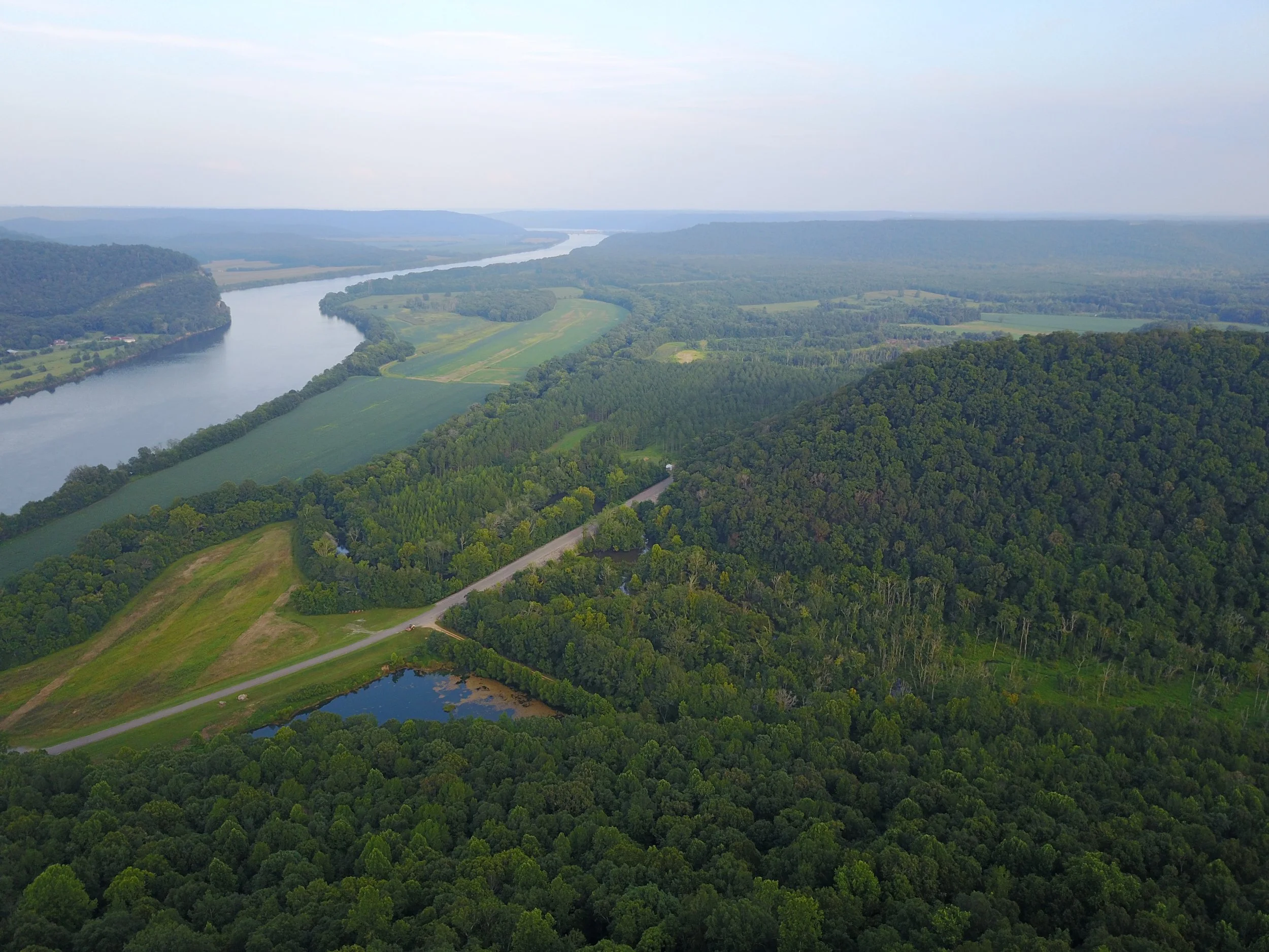
Conservation Southeast prepared the BDR for Parches Cove, a 4,688-acre Marshall County conservation easement held by the University of Alabama.
ON THE GROUND: RECENT WORK
Conservation Southeast was retained by Clinchfield Consulting Group to assist in the mitigation of impacts to Gopher Tortoises at an expansion of a railroad staging yard in Saraland, Alabama. Six of ten tortoises removed were captured with the assistance of a skilled excavator operator. Animals were then handed off to Westervelt Ecological Services personnel, who took them for processing at the conservation bank near Leakesville, Mississippi.
Gopher Tortoise Translocation
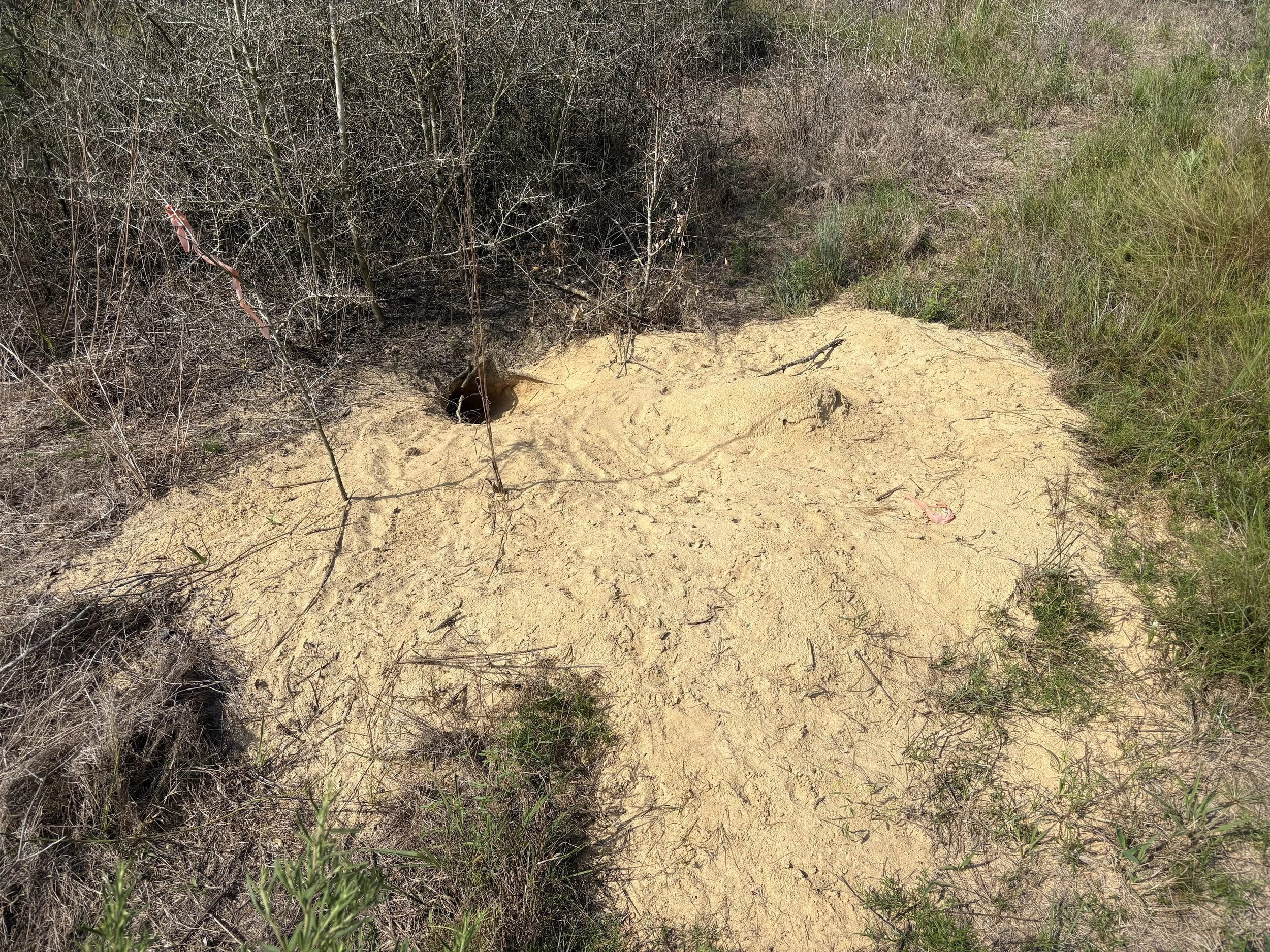
One of several occupied tortoise burrows at the site. Because this was late in the season (September), trapping was not as effective as excavation.
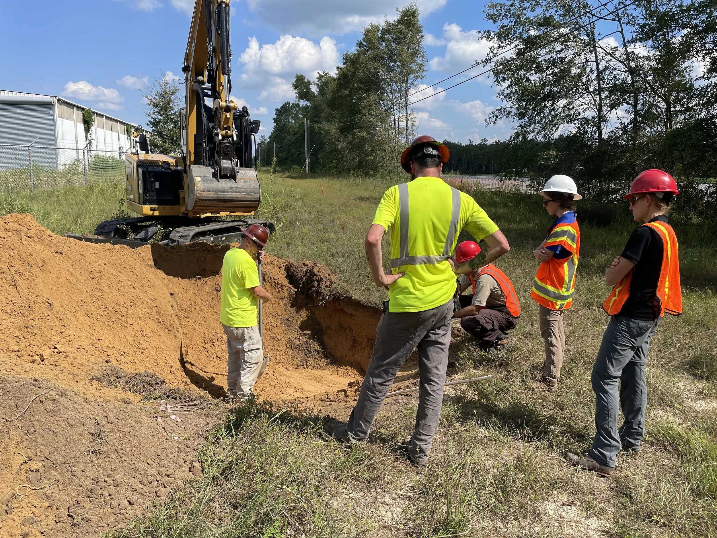
Coordinating with USFWS personnel on-site as the authorized excavation process begins at an active burrow.
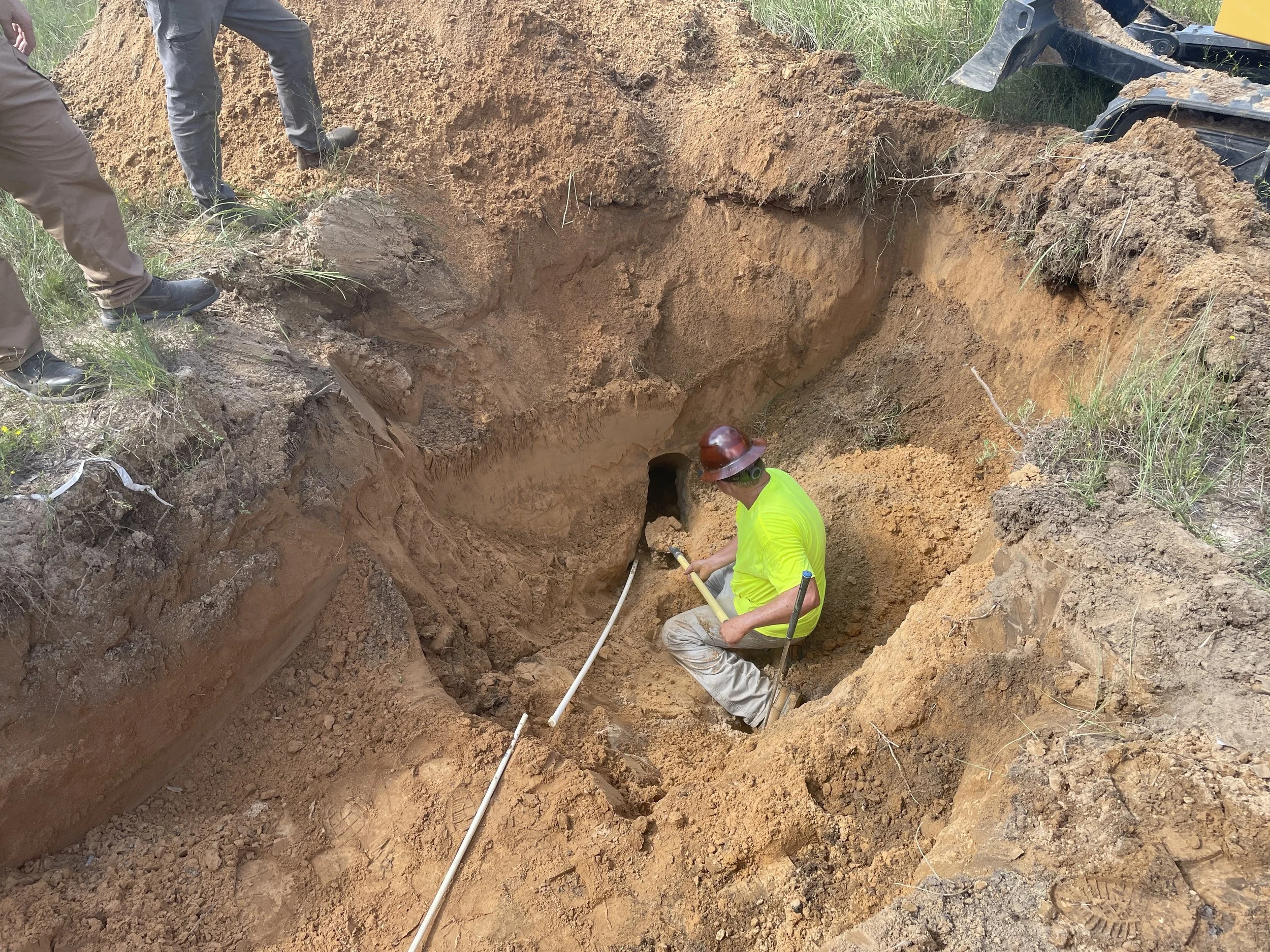
Almost there. Gopher Tortoise burrows can be over 20 feet long and 15 feet deep.
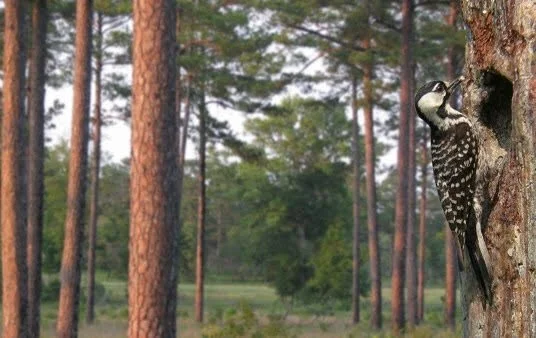
Red-Cockaded Woodpecker (RCW) Recovery & Monitoring
Conservation Southeast provides management and recovery services for the federally threatened Red-Cockaded Woodpecker (RCW). Our team conducts permitted population surveys, monitoring, cluster assessments, and artificial cavity provisioning to ensure strict regulatory compliance and support long-term conservation goals across southeastern pine ecosystems.
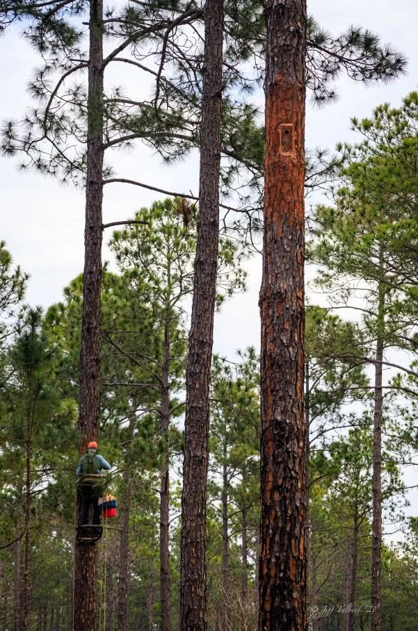
Installation of artificial cavity inserts within a designated RCW cluster. Photo by Jeff Talbert.
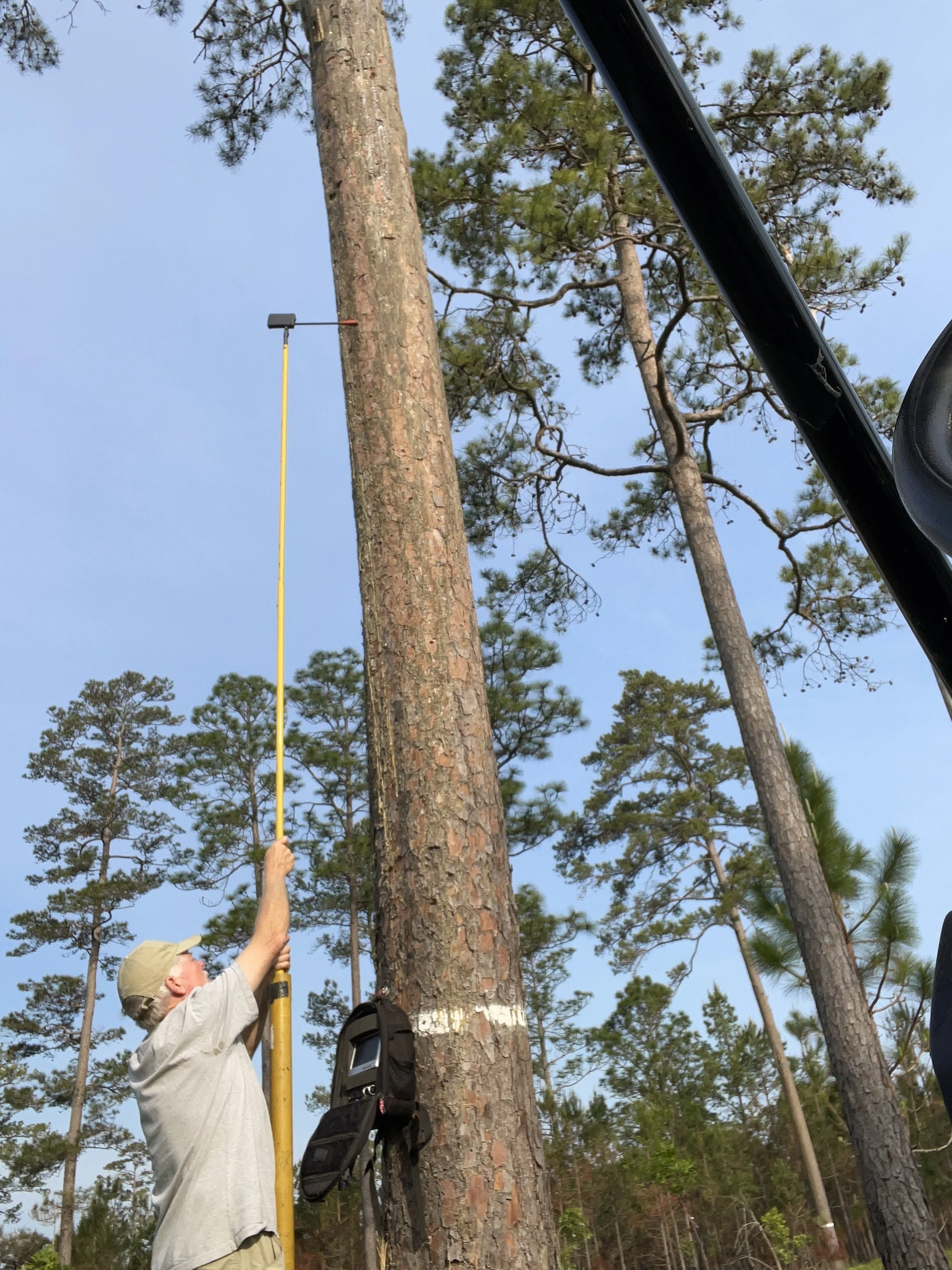
Cavity inspection gear: a telescoping peeper-scope system to monitor nesting activity.
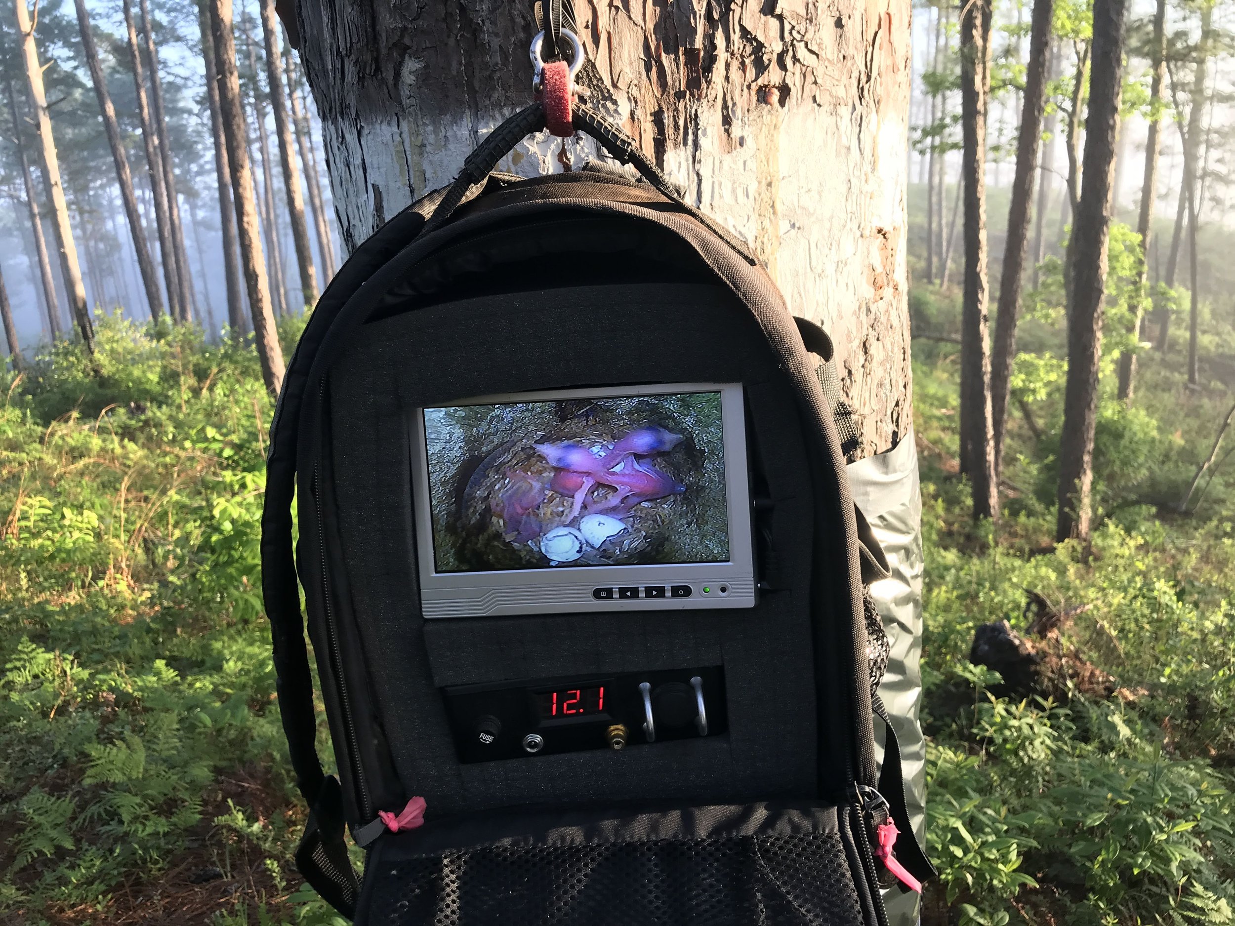
Real-time video feed confirming a successful hatch of three RCW nestlings.
Aquatic Surveys
Conservation Southeast partnered with Stantec to conduct presence/absence surveys for the federally listed Flattened Musk Turtle and Black Warrior Waterdog at a proposed Alabama Department of Transportation bridge replacement site in Cullman County, Alabama. To accommodate the distinct peak activity periods of each species, sampling was strategically split, with turtle surveys conducted in July and waterdog trapping completed in November.
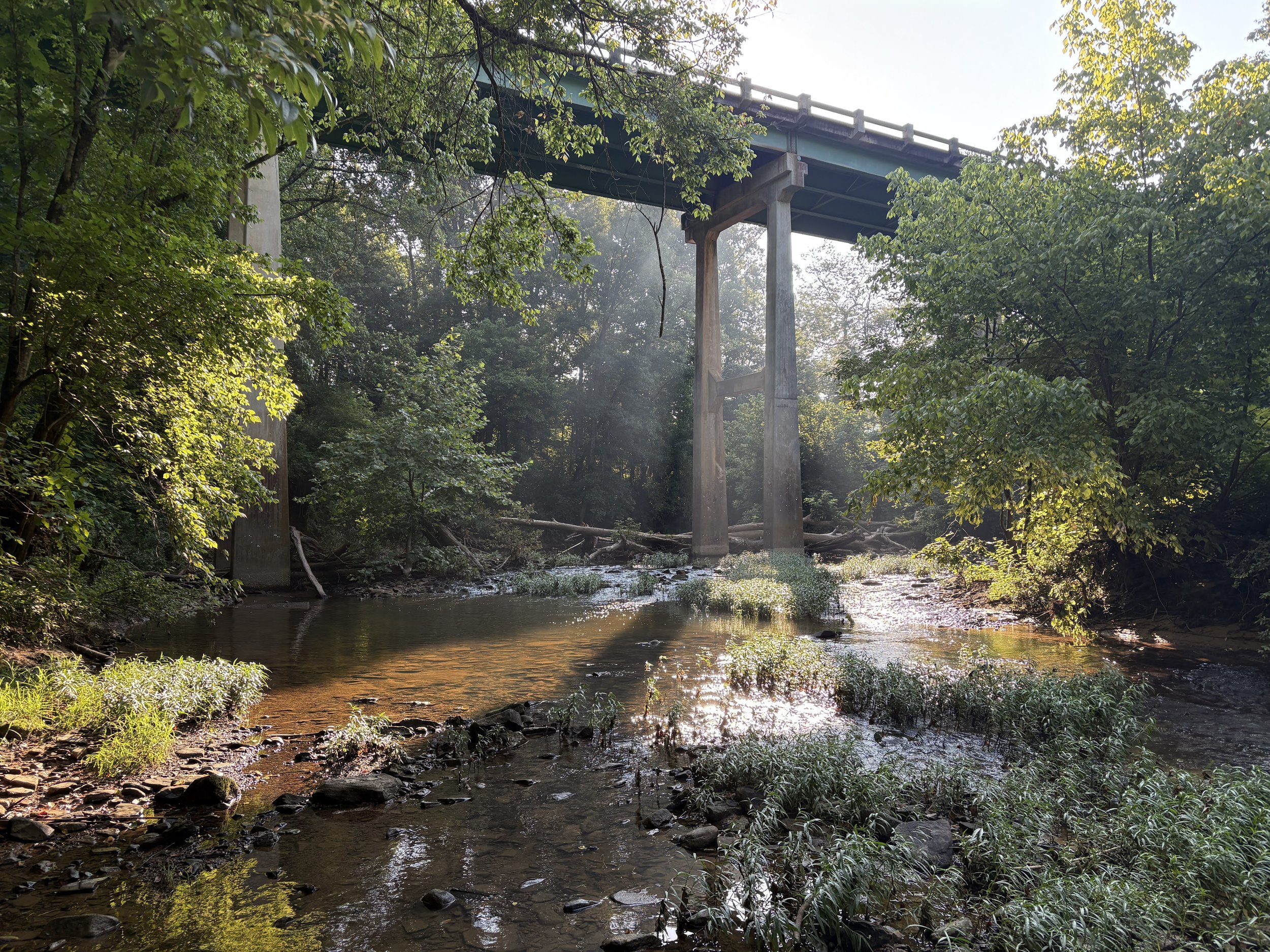
The survey extended upstream and downstream from the proposed bridge replacement site.
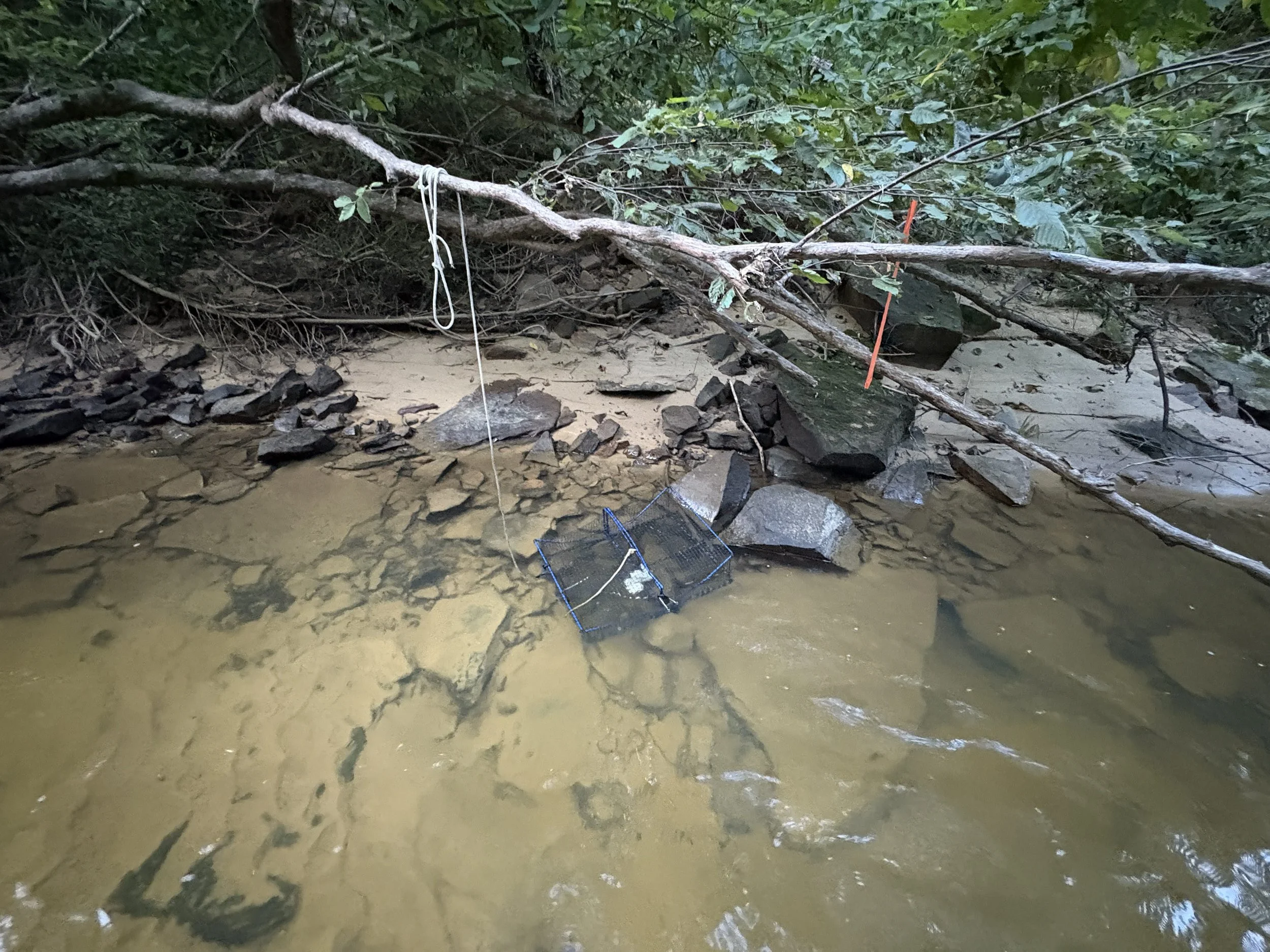
Collapsible turtle trap deployed on the rocky substrate favored by Flattened Musk Turtles.
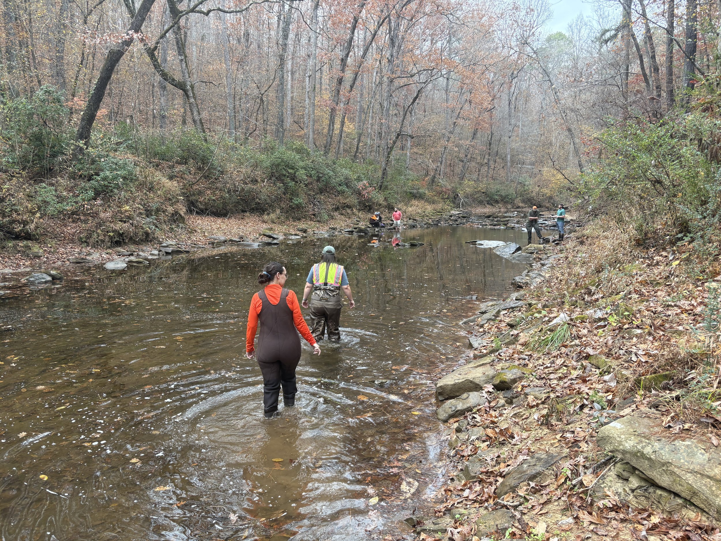
Alabama Department of Transportation personnel site visit during the Black Warrior Waterdog sampling.